Much more than a desert: A trip into the Sahara
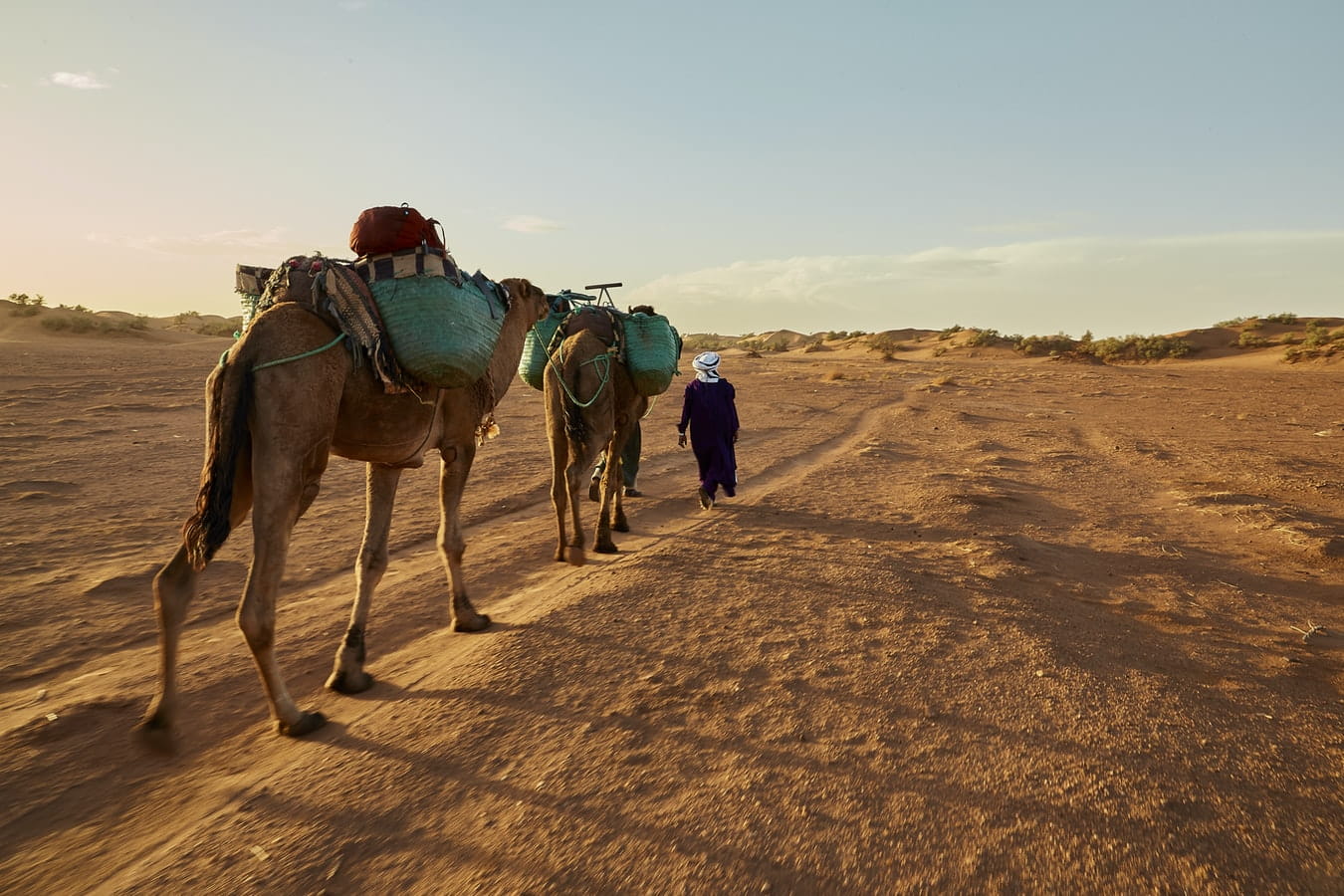
The Sahara is a desert located on the African continent. It is the largest hot desert in the world, and the third largest desert overall after Antarctica and the Arctic. Its area of 9,200,000 square kilometres (3,600,000 sq mi) is comparable to the area of China or the United States.[3] The name ‘Sahara’ is derived from a dialectal Arabic word for “desert”, ṣaḥra (صحرا /ˈsˤaħra/).
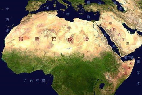
The desert comprises much of North Africa, excluding the fertile region on the Mediterranean Sea coast, the Atlas Mountains of the Maghreb, and the Nile Valley in Egypt and Sudan. It stretches from the Red Sea in the east and the Mediterranean in the north to the Atlantic Ocean in the west, where the landscape gradually changes from desert to coastal plains.
To the south, it is bounded by the Sahel, a belt of semi-arid tropical savanna around the Niger River valley and the Sudan Region of Sub-Saharan Africa. The Sahara can be divided into several regions including: the western Sahara, the central Ahaggar Mountains, the Tibesti Mountains, the Aïr Mountains, the Ténéré desert, and the Libyan Desert.
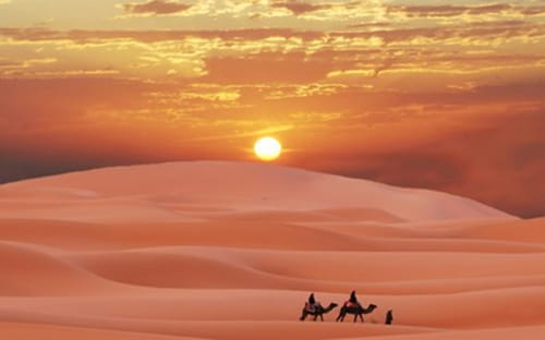
For several hundred thousand years, the Sahara has alternated between desert and savanna grassland in a 20,000 year cycle caused by the precession of the Earth’s axis as it rotates around the Sun, which changes the location of the North African Monsoon. The area is next expected to become green in about 15,000 years (17,000 AD).
撒哈拉沙漠位于非洲大陆上。它是世界上最大的热沙漠,也是仅次于南极洲和北极的第三大沙漠。它的面积为9200000平方公里(3600000平方英里),可与中国或美国的面积相媲美。[3]撒哈拉这个名字源自阿拉伯语方言中的“沙漠”一词,即“aṣaḥra(حا/ˈsˤaħra/)。
沙漠包括北非的大部分地区,不包括地中海沿岸的肥沃地区、马格里布的阿特拉斯山脉、埃及和苏丹的尼罗河流域。东起红海,北至地中海,西至大西洋,地貌由沙漠逐渐向滨海平原转变。
南部以萨赫勒为界,萨赫勒是尼日尔河流域和撒哈拉以南非洲的苏丹地区周围的一条半干旱热带稀树草原地带。撒哈拉可以分为几个地区,包括:西撒哈拉、中部阿哈格尔山脉、提贝斯蒂山脉、阿尔山脉、特涅雷沙漠和利比亚沙漠。
几十万年来,由于地球绕太阳自转时地轴进动,撒哈拉沙漠以20000年为一个周期在沙漠和草原之间交替,从而改变了北非季风的位置。该地区下一步有望在大约15000年(公元17000年)后变成绿色。
Explore more like this
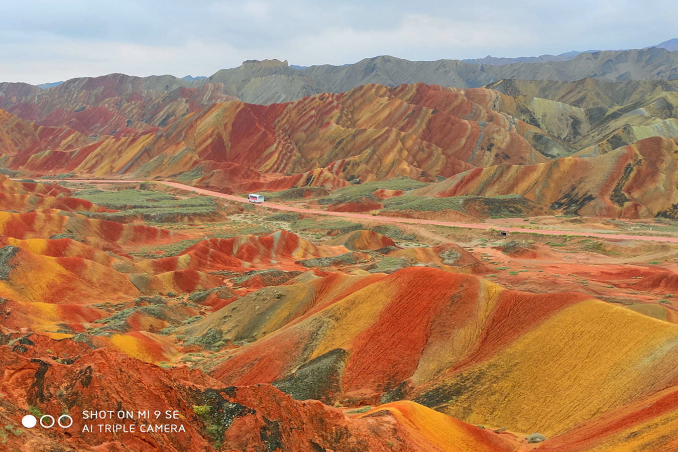
Colorful mountain, the beauty of nature: Danxia Landform
Have you ever seen a colorful mountain on the earth? Yes, a mountain with all kinds of colors, looks like a painting in front of you. In China, there is...
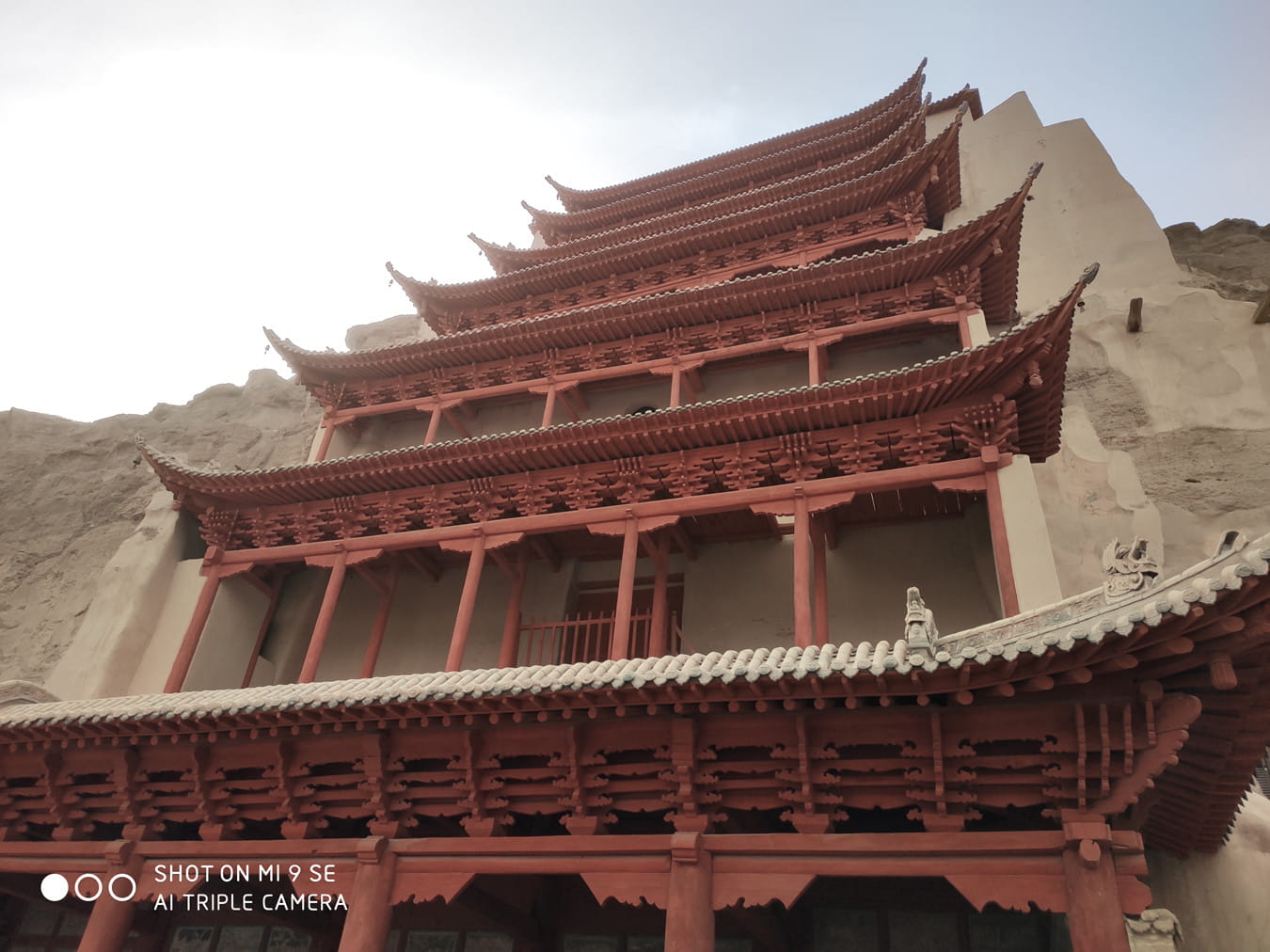
Pearl on the Silk Road: Mogao Grottoes
Mogao Grottoes, commonly known as thousand Buddha Caves, are located in Dunhuang at the west end of Hexi corridor. It was first built in the pre Qin period of the...
Comments